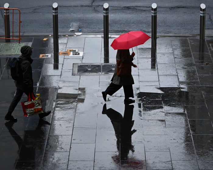
Severe weather warnings have been issued across a broad swathe of eastern Australia as a powerful cold front advances toward major urban centers, bringing the threat of destructive winds, large hail, and sudden downpours. According to World news | The Guardian, the Bureau of Meteorology has placed Melbourne, Canberra, Sydney, and Brisbane on alert as the active system moves across Victoria, New South Wales, and parts of Queensland through Sunday. Forecasters note that the incoming weather system packs a significant punch, capable of disrupting travel and local infrastructure over the weekend.
Severe Conditions Forecast Across Multiple States
The hazard alerts highlight a range of extreme weather phenomena accompanying the temperature drop. The report states that residents in the path of the front should prepare for damaging wind gusts alongside potential flash flooding. Furthermore, forecasters have warned of localized hail storms as the atmospheric disturbance interacts with warmer continental air. Emergency management agencies across the affected jurisdictions are urging populations to secure outdoor property and monitor local forecasts closely as the system progresses.
Background on East Coast Weather Patterns
Australia’s eastern seaboard frequently experiences rapid atmospheric shifts during the transition months, as cold southern air masses clash with building warmth from the north. These sharp temperature gradients routinely spawn severe convective activity, stretching emergency services across multiple state borders. Similar meteorological events have previously prompted widespread transport delays and power outages across the region's densely populated corridors.
Why This Matters
This sweeping weather event poses immediate safety risks to millions of residents living along Australia's most populous eastern corridor. Flash flooding and high winds routinely disrupt commuter networks, damage residential properties, and strain municipal emergency response units. For communities recovering from previous environmental strains, severe storms compound vulnerabilities in both regional agriculture and urban infrastructure. Property owners and transit authorities must remain vigilant to mitigate potential hazards before the front peaks.
What to Watch
Monitoring centers will track the exact trajectory and intensity of the cold front as it reaches coastal areas through Sunday. Observers should watch for updated severe thunderstorm warnings from regional meteorological offices and potential emergency declarations regarding transport safety.
Sources: World news | The Guardian